Site Hosts
Operators willing to host a monitoring deployment at a working facility, on agreed terms of access, safety, and scheduling.
Terradac Technologies
We design modular, field-deployable environmental sensing systems that bring the subsurface into view—so operators, stewards, and federal partners can act on what's happening underground before it becomes a problem above it.

The Problem
Most subsurface monitoring is periodic. A crew carries instruments to a set of measurement stations, takes readings, and leaves—then returns months later and tries to set up in exactly the same places. The error that re-occupation introduces can be larger than the change being measured.
So monitoring ends up expensive, infrequent, and too often done minimally—while the consequences of missing something travel for years.
Subsurface monitoring is structurally hard. The signals are weak, the environments are unforgiving, and most of the systems operators inherited are static, disconnected from day-to-day operations, and built for one-time studies rather than continuous accountability.
Illustration: a survey crew walking away from a tripod-mounted instrument on open ground at dusk
Across the sectors we serve, the same need keeps surfacing:
Continuous visibility into what's changing underground—not periodic reports after the fact
Audit-ready data that holds up to regulator, partner, and community scrutiny
Field-hardened systems that survive harsh deployment conditions over long timelines
Modular monitoring that fits the site, the budget, and the question being asked
We build for that reality. Honest data, captured close to the source, delivered to the people responsible for acting on it.
How It Works
01 · Emplace
Sensing is installed in shallow boreholes at the site and left in place.
02 · Acquire
It measures continuously—no repeat surveys, no stations to re-occupy.
03 · Deliver
Every measurement comes together in a single monitoring record, delivered through TerraCloud and ready for audit.
Terradac places the sensing in shallow boreholes and leaves it there. Nothing is moved, so nothing has to be re-occupied. It acquires continuously, so there are no gaps between campaigns. And multiple measurement types share one installation, so they build one record rather than several. Monitoring becomes something that runs across the whole site, not a campaign at a handful of stations. Where gravity is the measurement, we pair the network with periodic precision surveys: the survey measures gravity, and the network corrects it and keeps the record between visits.
A continuous, auditable monitoring record of the site—what operators, regulators, and registries need to see over the life of a project. A continuous record is easier to defend than a series of snapshots.
The cost structure of measurement is what decides whether monitoring is done well or done minimally. A system that is installed once and reports continuously changes that structure—making it practical to monitor a whole site rather than a sample of it.
The innovation is in the deployment and the data architecture—not in any one sensor.
The System · Sensing
Subsurface Intelligence. Built for the Field.
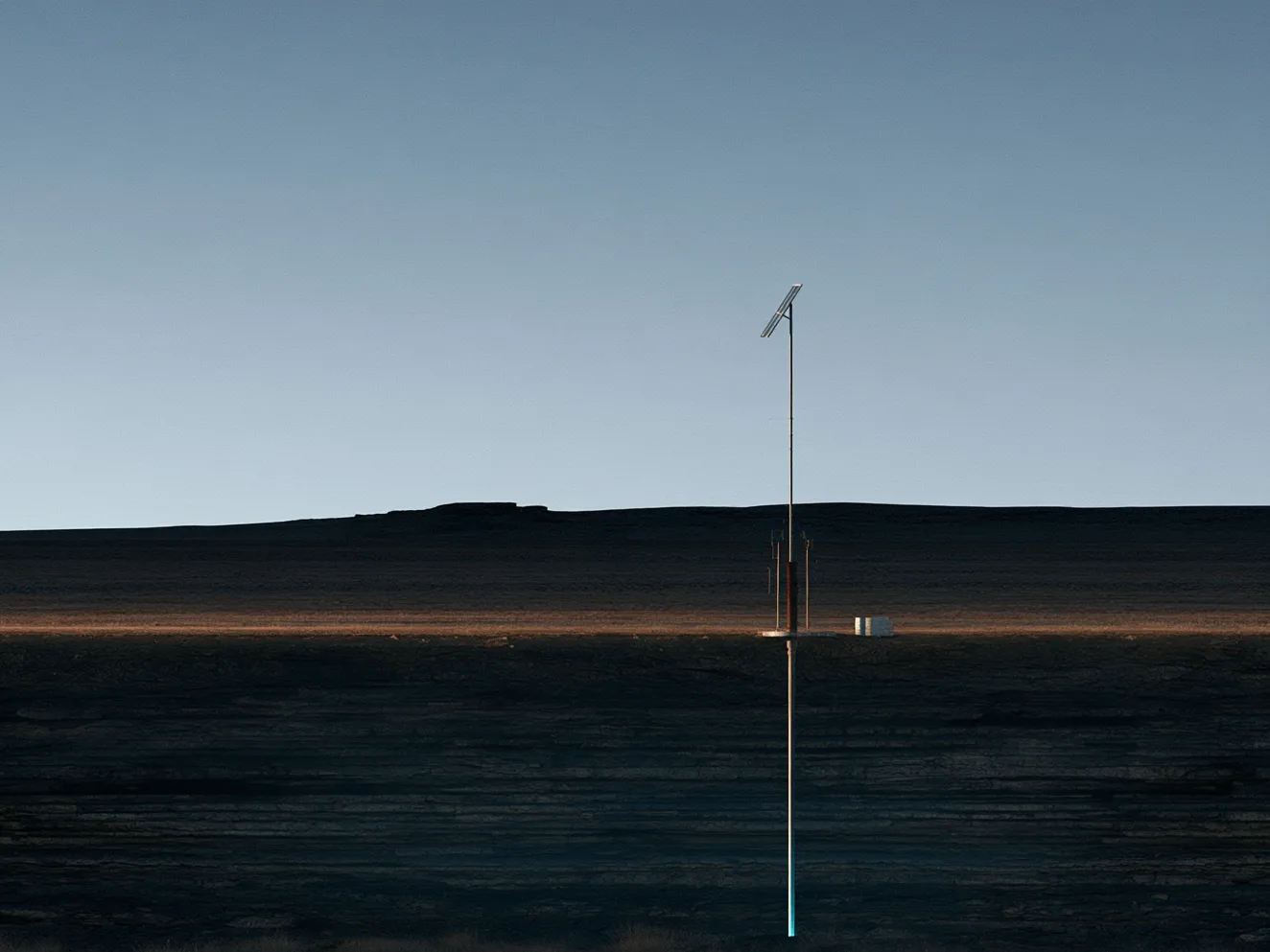
TerraStinger is the sensing half of the system. It is installed in shallow boreholes and left in place, acquiring continuously and combining multiple measurement types in a single installation—so a site is monitored without repeat surveys. Built for extreme environments and adaptable across sectors, it provides the reliability high-stakes carbon, energy, and infrastructure work demands.
The System · Cloud
The Monitoring Record—Anywhere You Are
TerraCloud is the cloud half of the system. It receives what TerraStinger acquires and delivers it as one continuous monitoring record—secure, auditable, and accessible from your phone, tablet, or desktop, so decision-makers stay connected to the field wherever they are.
Because the record is continuous and kept for audit, it holds up to regulator, partner, and registry scrutiny—helping teams spot emerging risk early, streamline compliance, and make better decisions across the life of carbon, energy, and environmental operations.
Terradac's work advances through the U.S. Department of Energy's Small Business Innovation Research and Small Business Technology Transfer (SBIR/STTR) programs, with university partners doing the science and field contractors working in the basins where the system will be deployed.
Phase I · Complete
DOE SBIR/STTR Phase I award DE-SC0025200, with the University of Oklahoma as research partner, established the feasibility of the approach.
August 2026
A U.S. provisional patent application was filed on the system.
October 2026
A Phase II application to DOE: a 24-month program of up to $2.0 million to build the system and field-validate it at a working site, with the University of Oklahoma and New Mexico Tech as research partners.
Next
If awarded, Phase II builds the system and validates it in the field at an operating site.
Phase II commits to measuring, not claiming. It is designed to produce:
A measured detection threshold—the smallest subsurface change the deployed system can resolve, established by measurement rather than assumption
Deployment design guidance—how to configure the system at a given site to reach a given detection target
A cost per unit area for continuous monitoring at each detection level, derived from real deployment costs rather than modeled ones
Field validation at an operating site, with a continuous monitoring dataset and independent analysis by our university partners
The public pitch video submitted to the U.S. Department of Energy with our Phase II application—the problem, the approach, and the team, in under five minutes.
More on our YouTube channel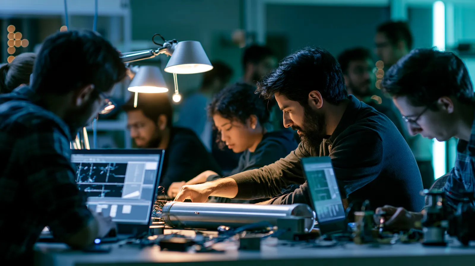

The future of environmental monitoring isn't just technical—it's collaborative. We co-design with the people driving energy transition, protecting ecosystems, securing infrastructure, and stewarding land. If you're leading a climate project, advancing field deployments, or shaping the next standard for what good monitoring looks like, we want to work alongside you.
Operators willing to host a monitoring deployment at a working facility, on agreed terms of access, safety, and scheduling.
People who carry monitoring, permitting, and reporting obligations—and can tell us what a monitoring record has to be able to show.
Fabrication, drilling, and field services in the basins where the work happens.
Laboratories, agencies, and programs with an interest in subsurface measurement.
The full technical design is shared under a mutual confidentiality agreement—one we can turn around in a day.
Founder, President & CEO — Phase II Principal Investigator
Co-originated Terradac's monitoring system and leads the company, holding system architecture and design authority in-house. Principal Investigator on Terradac's DOE Phase II application, pairing a strategic-finance background with hands-on software and infrastructure work.
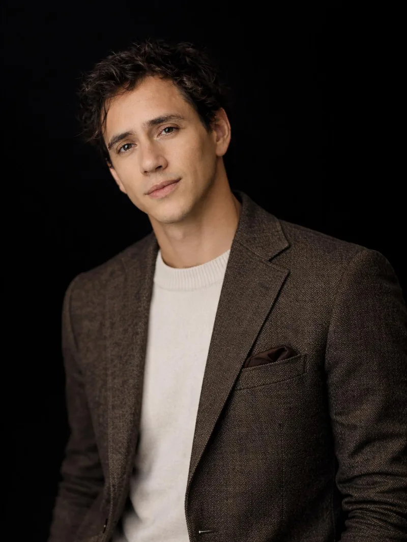
Co-FounderFormer
Co-founded Terradac and helped originate its monitoring concept, leading early outreach and partner development across carbon storage and federal programs.
Professor of Petroleum and Geological Engineering, University of Oklahoma Mewbourne School
Brings decades of subsurface and well-integrity research. The University of Oklahoma is a research partner on Terradac's DOE program.
Phase II research partner for instrument qualification and testing.
Phase II research partner for site characterization and analysis.

Advisor
Helped originate the software and data architecture behind TerraCloud, and advises on cloud, telemetry, and data pipelines from a background in scaled cloud infrastructure.
Together, we bring decades of experience in federal energy programs, field deployment, subsurface research, and clean technology innovation.
Across prior roles, our founder has helped secure and deliver more than $100 million in federal infrastructure and clean-energy funding
Questions
No. We don't capture CO₂ from the air. We build monitoring systems for what happens underground, starting with the long-term monitoring that geologic carbon storage requires.
Monitoring, reporting, and verification: the framework carbon storage projects operate under. Operators must show, over decades, where injected CO₂ is and that it is staying there. Terradac is designed to make that record continuous and auditable.
Sensing installed in shallow boreholes can be put in once and left in place. Nothing has to be carried to a station and set up again, so there is no re-occupation error and no gap between survey campaigns.
Periodic surveys leave gaps between visits, and re-occupying the same stations introduces error that can be larger than the change being measured. A continuous record shows how a site changes over time and is easier to defend to regulators, partners, and registries.
Not yet commercially. Our Phase I award established feasibility, and our Phase II application, submitted in October 2026, would build the system and field-validate it at a working site. We are looking for site hosts, operators, and partners to help shape that work.
Carbon storage is our first market. The same approach is designed for well and containment integrity, gas migration, groundwater, subsidence and ground motion, and monitoring around buried infrastructure.
The company background, program status, and how the approach works are on this site. System design, deployment geometry, sensor selection, performance figures, and cost data are shared under a mutual confidentiality agreement, which we can turn around in a day.
Have a question that isn't here?
Request a Technical Briefing