TerraStinger
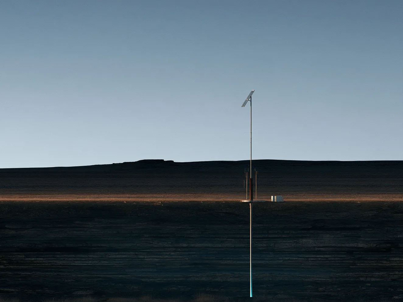
Subsurface Intelligence. Built for the Field. TerraStinger is the sensing system—installed in shallow boreholes and left in place, it acquires continuously and combines multiple measurement types in one installation.
Read More
Overview
The most critical risks to our infrastructure, climate, and communities often start underground—unseen and unchecked.

The Problem
Most subsurface monitoring is periodic. A crew carries instruments to a set of measurement stations, takes readings, and leaves—then returns months later and tries to set up in exactly the same places. The error that re-occupation introduces can be larger than the change being measured.
So monitoring ends up expensive, infrequent, and too often done minimally—while the consequences of missing something travel for years.
Illustration: a survey crew walking away from a tripod-mounted instrument on open ground at dusk
Terradac develops field-ready environmental intelligence systems that bring the subsurface into full view. TerraStinger is sensing installed in shallow boreholes and left in place, acquiring continuously—building the long-term monitoring record operators need to stay ahead of failure and meet rising regulatory demands.
TerraCloud delivers that record to field operations, reporting, and long-term planning. Whether you manage a carbon storage site, operate energy infrastructure, or steward land and water for the public good, the system is designed to deliver the clarity and confidence today's challenges demand.
How It Works
Sensing is installed in shallow boreholes at the site and left in place.
It measures continuously—no repeat surveys, no stations to re-occupy.
Every measurement comes together in a single monitoring record, delivered through TerraCloud and ready for audit.
The innovation is in the deployment and the data architecture—not in any one sensor.
The System
The sensing that stays in the ground, and the cloud that delivers what it sees.
Subsurface Intelligence. Built for the Field. TerraStinger is the sensing system—installed in shallow boreholes and left in place, it acquires continuously and combines multiple measurement types in one installation.
Read MoreTerraCloud delivers the continuous monitoring record from the field to the people responsible for acting on it—secure, auditable, and accessible from your phone, tablet, or desktop.
Read MoreOur work begins where the surface ends—empowering those who need to understand the subsurface to protect what's above it. Carbon storage is our first market; the same approach serves anyone responsible for what happens underground over years, not months.
Our first market
Storage projects must show, for decades, that injected CO₂ is staying where it belongs. We're building the continuous, auditable monitoring record that case rests on—bringing trust and transparency to long-term sequestration.
Designed to give teams a continuous view of the subsurface around wells and containment between inspections—helping them stay ahead of failure and meet rising regulatory expectations.
Long-term monitoring of ground motion, subsidence, and the subsurface around buried infrastructure—supporting climate, infrastructure, and national security priorities.
Beyond our headline sectors, we continue to serve and learn from the communities and researchers whose stewardship grounds our work.
Trusted, localized data for sovereign environmental oversight and community-led decision-making.
Continuous, field-based records for groundwater, ecological research, early-warning studies, and climate modeling.
Our systems are built for rigor, resilience, and relevance—meeting technical, regulatory, and community expectations from day one.
Our Program
Backed by the U.S. Department of Energy, with the University of Oklahoma and New Mexico Tech as research partners.
Phase I complete
Feasibility established
Patent pending
Provisional filed August 2026
Phase II submitted
October 2026 · 24 months · up to $2.0M
The public pitch video submitted to the U.S. Department of Energy with our Phase II application—the problem, the approach, and the team, in under five minutes.